Why lane rules do not describe the road
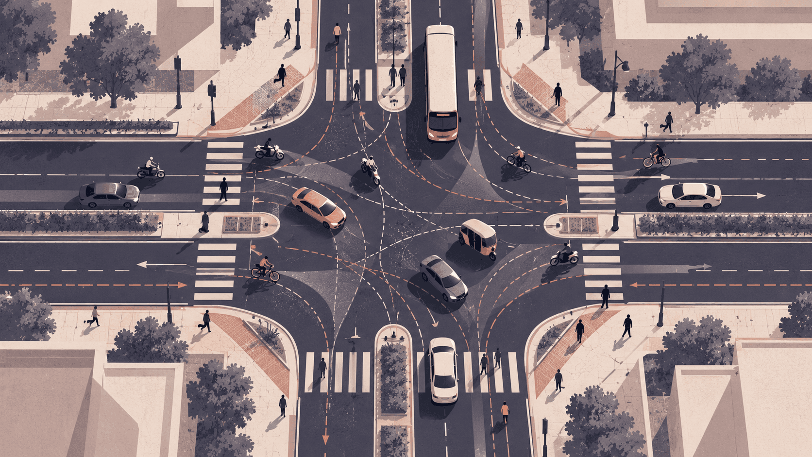
Roads and junctions are often designed and assessed using assumptions about how vehicles occupy lanes, follow one another and use the available road space. These assumptions work reasonably well for traffic that largely follows lane discipline. However, traffic on many Indian urban roads operates differently. Motorised two-wheelers, cars, autorickshaws, buses and trucks share the same road space despite substantial differences in their dimensions, speeds and manoeuvring capabilities. Vehicles may travel side by side, adjust their lateral positions continuously, use small gaps to move forward and overtake without necessarily crossing marked lane boundaries (Venkateshappa and Asaithambi, 2025). This form of disordered traffic differs from conventional lane-based, or ordered, traffic because vehicle movement is not governed solely by fixed lanes and interactions with the vehicle directly ahead.

Two-wheelers, cars and autos share one signal approach on MG Road, Mangalore. Photo: Aviator423, CC BY-SA 4.0, via Wikimedia Commons.
Why it matters for design
This difference matters when engineers design roads and junctions or assess their operational performance. Traffic engineers and infrastructure practitioners routinely use traffic simulation software to estimate capacity, examine congestion, compare junction layouts, evaluate lane configurations and determine signal timings. These analyses can inform decisions before costly changes are made on the ground. However, the reliability of the results depends on how well the simulation model represents actual traffic behaviour. Detailed traffic data are also needed to ensure that these assessments adequately reflect field conditions.
From traffic counts to trajectories
Traffic data can be collected in two complementary ways. Eulerian data describe traffic at a fixed location. Loop detectors, roadside sensors and fixed-camera systems can estimate variables such as traffic volume, speed and density, but they do not necessarily reveal how individual vehicles move between locations. Lagrangian data, in contrast, follow individual vehicles as they travel. Instrumented vehicles can record their own positions, speeds and accelerations, although the observations are generally limited to the vehicles equipped with measurement devices. Obtaining trajectories over a sufficiently long road section has been a major challenge. A swarm of unmanned aerial vehicles (UAVs) offers a way to extend the observation area by capturing adjoining road sections and combining their video recordings to reconstruct longer vehicle trajectories.
What one Chennai dataset shows
The SPT (Disordered Traffic Dataset) study by Rajput et al. (2026a) demonstrates this approach using six UAVs on an urban arterial in Chennai. The resulting dataset contains more than 2.5 million trajectory points sampled at 0.04-second intervals, recording the longitudinal and lateral positions, vehicle types, dimensions, speeds and accelerations of individual vehicles. These observations make it possible to examine not only where vehicles travel but also how their positions and interactions change along the road. For example, approximately 85% of motorised two-wheelers and 98% of autorickshaws were observed on the left side of the roadway, whereas 68.4% of cars were on the right. Commercial vehicles were more evenly distributed, with 54% on the left and 46% on the right (Rajput et al., 2026a).

A busy street in India at festival time: vehicles and people take whatever space is free. Photo: Bsravikiran, CC BY-SA 3.0, via Wikimedia Commons.The observed lateral movements also highlight why such behaviour should not be treated simply as a lane-changing event. Vehicles may continuously adjust their lateral positions to use available gaps, pass slower vehicles or respond to surrounding traffic. In the SPT study, lateral movement durations ranged from 2.2 to 12.0 seconds. This distinction matters when evaluating lane widths, merging and diverging sections and junction approaches, where vehicles may redistribute across the available space rather than remain within fixed lanes.

Aramghar crossroads in Hyderabad: at junctions like this, lane markings say little about how vehicles actually move. Photo: Rahmanuddin, CC BY-SA 4.0, via Wikimedia Commons.
What this means for traffic flow models
Traffic simulation models help engineers evaluate road capacity, junction layouts and traffic-management strategies (Asaithambi et al., 2012). However, conventional microscopic models often rely on car-following and lane-changing rules that may not fully capture disordered traffic, where vehicles interact with several surrounding vehicles and move both longitudinally and laterally. The High-Speed Social Force Model (HSFM) developed by Kanagaraj and Treiber (2018) accounts for both directions of movement, interactions with surrounding vehicles and road-boundary effects, providing a framework for representing mixed-traffic behaviour.
Macroscopic models
Macroscopic models offer another approach by describing traffic through aggregate quantities such as density, flow and velocity, rather than simulating every vehicle individually. Conventional one-dimensional models describe how traffic conditions evolve along the road, but they do not explicitly represent the redistribution of traffic across its width. Agrawal et al. (2023) and Rajput et al. (2026b) proposed a two-dimensional extension of the macroscopic model for lane-free traffic. It represents longitudinal traffic propagation together with lateral redistribution, including the tendency of vehicles to move towards less densely occupied regions and the influence of road boundaries.
Choosing between them
These models provide different levels of detail, and no single approach is appropriate for every engineering question. Microscopic models are useful when study about design signal timing, intersection improvements and construction of new fly-over etc. Macroscopic models can be useful for examining the evolution of traffic conditions over longer road sections and under different demand scenarios. In either case, trajectory data can help calibrate model parameters and test whether simulated vehicle movements and aggregate traffic patterns agree with observations.
Three key considerations for traffic engineers and practitioners
1. Is the selected traffic simulation model appropriate for the problem, and can it be validated using the available data? Select a model suited to the design problem and identify the data required for its calibration and validation. Where possible, collect detailed field data and verify that the calibrated model reproduces observed traffic behaviour. If data are unavailable, use other available measurements, such as traffic flow, speed and density, to validate the simulation model, adopting reasonable parameter values from previous studies or the literature where necessary.
2. Will the proposed traffic management measure improve overall traffic operations at the specific location? Before recommending a measure, assess whether it addresses the actual cause of congestion and how it affects different vehicle classes and movements. For example, adding a dedicated turning lane at a busy junction may improve turning movements but reduce the road space available to through traffic, potentially increasing delays elsewhere. Similarly, restricting lateral movements or introducing dedicated lanes may change how vehicles use the remaining road space. Such measures should therefore be evaluated using realistic mixed-traffic data and simulation, considering travel times, queues, capacity and, where relevant, the number of passengers served.
3. Does the assessment account for emerging vehicle technologies and advances in traffic management? With the increasing adoption of electric vehicles (EVs) and the growing use of artificial intelligence (AI) in traffic monitoring, prediction and control, practitioners should consider how these developments may influence future traffic conditions and infrastructure requirements. Traffic simulation models should reflect the expected vehicle composition and, where relevant, account for AI-enabled traffic management strategies when evaluating future road and junction designs.