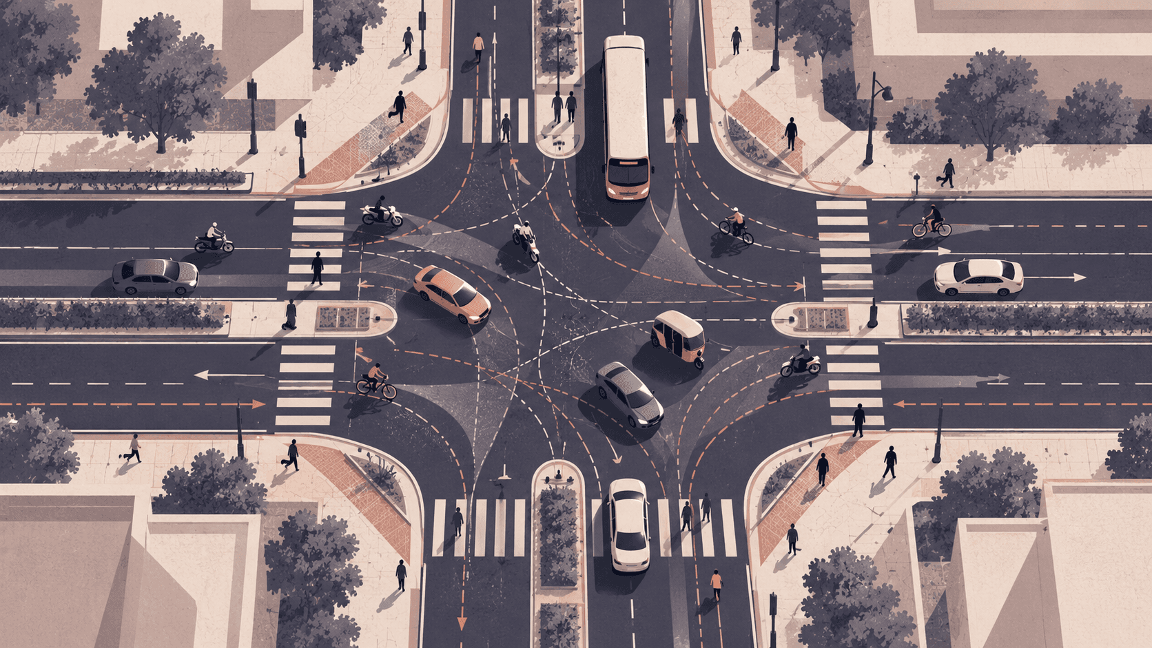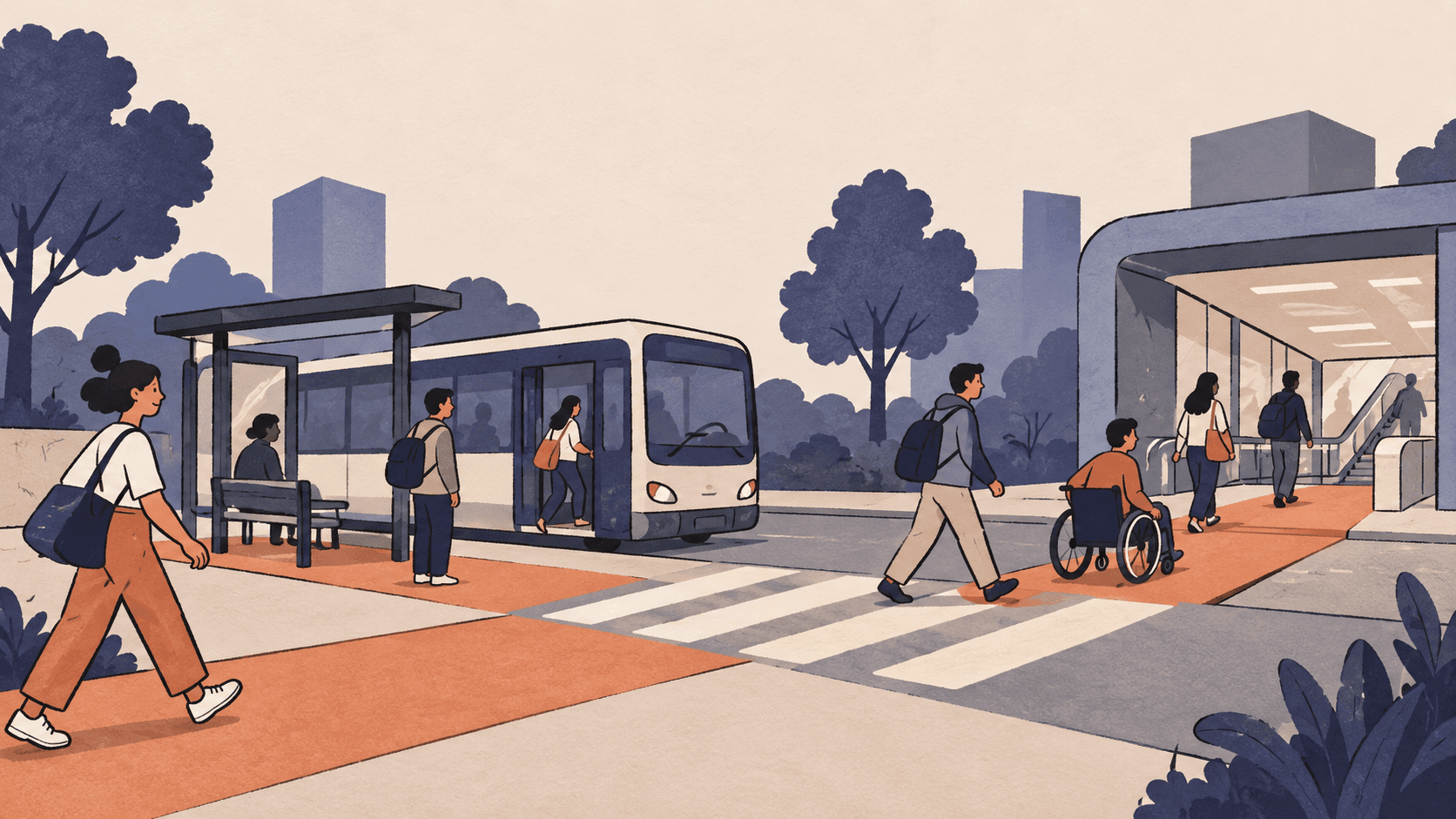
A passenger can be close to a metro station and still have a difficult journey to reach it. The footpath may end before the gate. A two-wheeler may be parked across the walking route. The feeder stop may sit on the other side of a busy road. An auto or e-rickshaw can bridge the gap, but the passenger is left to work out where it will stop and how much the trip will cost.
These small links shape whether public transport feels usable. They are also easy to leave outside a project's scope. A station can be built by one agency, while the approach road, crossing and feeder services sit with other owners. For the passenger, there is one trip. The project plan often divides it into several contracts.
The policy already reaches beyond the station gate
The Union government's 2017 Metro Rail Policy says proposals should plan feeder systems alongside a metro, and treats pedestrian access, non-motorised transport and para-transit as essential elements for central assistance. It also calls for comprehensive mobility planning, universal accessibility and integration between modes.
That makes station access a planning and delivery question, not just a finishing touch. Which streets will connect to the entrance? Where will buses, autos and e-rickshaws stop? Who will provide a safe crossing? Who will keep the route clear and accessible after opening? The policy sets a direction. Each project still has to turn it into drawings, contracts, budgets and named responsibilities.
One journey, several owners
Delhi's transport planning record offers an older illustration of the coordination problem. A Ministry of Urban Development committee report, released on 5 June 2016, noted that 18 Central and Delhi government departments and agencies handled different aspects of transport in the city. It recommended a Unified Metropolitan Transport Authority to improve coordination and execution. The committee also called for accessible footpaths, crossings and feeder services. Its account describes Delhi in 2016, not the current institutional map across Indian cities.
Consider a composite example rather than a specific station. A metro station opens in a growing city. Its platforms, ticketing and entrance are ready. The footpath ends at a drain cover, the crossing is hard to use, and the bus stop is too far away for a passenger carrying bags or travelling with a child. The metro agency may have completed its contract. A road agency may have resurfaced the carriageway. Yet the walk from the gate to the nearest main road remains unresolved.
The handover can fail in the space between contracts. One department may own the station boundary, another the road, and another traffic signals or bus operations. If no one is responsible for the full access route, there may be no single drawing, budget or inspection that tests the passenger's trip end to end.
Access needs an operational test
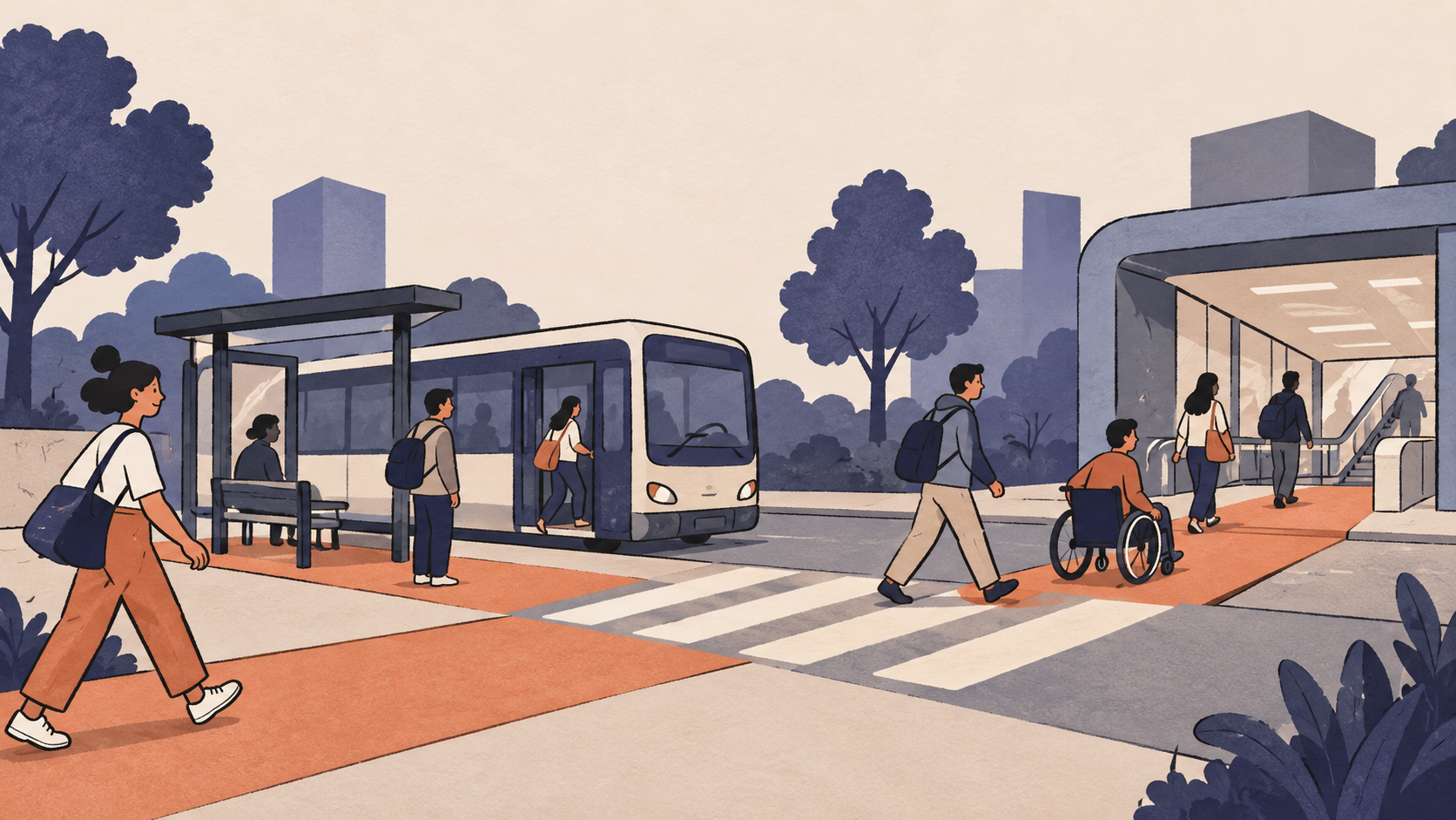
A useful review starts with the people who will make the journey. Can a wheelchair user reach the entrance without being pushed into a vehicle lane? Can an older passenger cross safely? Is the path continuous, shaded where possible, lit after dark and clear of obstructions? Can a feeder vehicle stop without blocking traffic or forcing passengers to board from the road?
These checks should happen while the project scope can still change. A route plan can identify each segment, crossing and stop, with an owner, design standard, cost and completion date. The delivery team can then walk the route with the city road authority, transit operator and people with different mobility needs. Any gap becomes an interface item to close before commissioning, with maintenance assigned for after opening. This is a practical proposal, not a claim that every project currently follows such a process.
Access also helps determine which transport mode makes sense. Metro, bus rapid transit, ordinary bus services and para-transit depend on different levels of demand, road space and operating capacity. The Metro Rail Policy calls for alternatives to be assessed through comprehensive mobility planning. That comparison should include the connections around stations, not only the central corridor. A lower-cost mode can still underperform if it lacks priority or safe access. A large system can also struggle to attract passengers if the surrounding journey is difficult.
Transport modes work as a network when passengers can transfer between them safely and predictably. A commuter's last mile is another service's first mile. The feeder route, stop location, walking link and station entrance need to meet at the same place and time. Coordination requires more than listing the agencies involved. It requires agreement on who delivers each interface and who resolves a missed milestone.
Five questions before the scope is frozen
Who owns the walking route from the station gate to the nearest main road or feeder stop?
Is that route continuous, accessible and safe at crossings and at different times of day?
Which feeder services will bring passengers to the station, and where will they stop and wait?
Have the owners of roads, crossings and feeder services agreed in writing to deliver their interfaces?Who will maintain the route and keep it clear after the station opens, and ensure road space is shared equitably?
These questions make “last-mile connectivity” something a project team can draw, cost, assign and inspect. If the route has no owner, its missing pieces can remain invisible until passengers encounter them. A transport project is not complete at the station gate. Its test is whether a person can reach the gate safely, comfortably and reliably from the city around it.