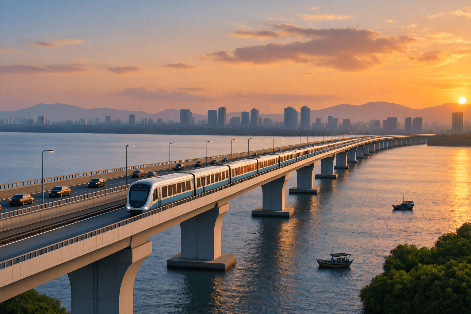
The Maharashtra government has approved Mumbai Metro Line 13, a ₹17,725-crore corridor connecting Bhayandar with Dongarpada in Virar. The 25 km corridor will include 21.75 km of elevated alignment, 3.25 km of underground alignment and 16 stations. A key feature of the project is a proposed 4.9-km integrated road and metro bridge across Vasai Creek.
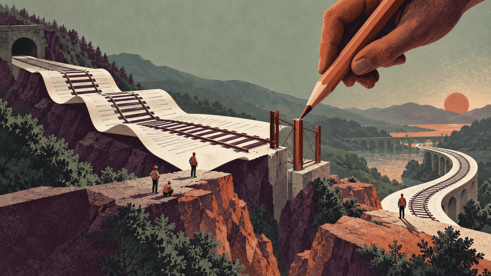
Crossing the creek is not simply a matter of designing a structure to carry a transport corridor over water. The project brings together two modes of transport within the same crossing, while requiring the infrastructure to respond to marine foundation conditions, navigation requirements, utility networks and environmental constraints. The bridge will also have to connect the road and metro alignments on either side of the creek and form part of the wider transport corridor.
More Than a Bridge Crossing
A bridge carrying road traffic has to be designed around the loads, geometry and operating requirements of the road. A metro crossing introduces a different set of requirements. Trains operate on fixed tracks, placing specific demands on alignment, gradients and structural performance. On Metro Line 13, these two transport systems will occupy the same creek crossing. The design therefore has to accommodate the requirements of both modes while maintaining continuity between the infrastructure on either side of the creek. This includes the bridge approaches and their connections to the wider road and metro networks. Integrating the two modes means that their structural, operational and construction requirements have to be considered together within the same project.
Building in a Waterway
Building across Vasai Creek introduces constraints that do not arise on an ordinary urban viaduct. The bridge will have to carry both road and metro infrastructure, while its foundations and structural arrangement will have to account for conditions within the waterway. Geotechnical and hydraulic conditions therefore become part of the design, alongside requirements governing navigation through the creek.
Construction presents another layer of complexity. Foundation installation, access for construction equipment and the sequencing of marine works will depend on the physical conditions at the site and the applicable regulatory requirements. The crossing must consequently be planned not only as a transport structure but also as infrastructure being constructed within an active waterway.
Integrated vs Separate Road and Metro Infrastructure
Mumbai already has large elevated crossings designed to carry road traffic over marine waterways. The Bandra–Worli Sea Link is an eight-lane facility with a 500-metre main cable-stayed span over the Bandra Channel and a 150 metre main cable stayed span over the Worli Channel. MSRDC states that the main spans provide a minimum 20 metre clearance for marine traffic. Atal Setu is a different scale example. The Mumbai Trans Harbour Link is 21.8 km long and six lanes wide, with approximately 16.5 km over the sea and 5.5 km on land. Its sea section includes seven orthotropic steel-deck spans ranging from 90 metres to 180 metres. MMRDA also identifies measures relating to flamingo flight paths and disturbance as part of the project’s environmental considerations.
Metro Line 13 introduces a different requirement at the crossing. The project proposes a 4.9 km integrated road and metro bridge across Vasai Creek. Unlike Atal Setu and the Bandra–Worli Sea Link, which are elevated crossings carrying road traffic, the Line 13 structure is planned to accommodate both road traffic and metro infrastructure within the same crossing.
This creates a different set of coordination requirements. With an integrated structure, the road and metro systems share the same crossing and therefore have to be coordinated within one project. A separate arrangement would mean developing independent road and metro crossings, with separate structures and associated approaches. The comparison is therefore not about which project is larger or more complex, but about how the function of an elevated marine crossing changes when a fixed-track metro system is incorporated alongside road infrastructure.
For Metro Line 13, the Vasai Creek crossing consequently represents a different configuration from Mumbai’s existing major sea links. Atal Setu and the Bandra–Worli Sea Link demonstrate the requirements of large elevated road crossings over marine environments; Line 13 adds a metro system to that same infrastructure problem.
Utilities and Environmental Constraints
The crossing also has to be planned in relation to existing infrastructure around the corridor. Utility networks may have to be protected, relocated or accommodated during construction, depending on their location and the final alignment. These requirements can affect construction planning for the bridge, its approaches and associated infrastructure.
Environmental requirements are similarly linked to the location and construction of the crossing. Work in and around a creek can be subject to coastal and environmental regulations, which may influence where supporting infrastructure can be placed and how construction is carried out. For Metro Line 13, these requirements will have to be addressed alongside the structural and transport requirements of the crossing.
Metro Line 13 therefore turns the Vasai Creek crossing into a project-development exercise as much as a structural one. The challenge lies in bringing road and metro infrastructure together while working within the physical, environmental and regulatory conditions of the waterway. As the project moves towards implementation, how these requirements are coordinated will shape the development of the integrated crossing.