Every monsoon, Himalayan roads tell us a familiar story. A slope fails, traffic stops, debris is cleared, protection works are added and the road is reopened. Reopening is necessary; but it is not the same as managing slope risk. A hill road is an intervention in terrain, drainage, geology and human exposure. The engineering question, therefore, should not begin with 'which retaining wall do we build?' It should begin with three questions: should the road remain on this alignment, what level of residual risk is acceptable, and what combination of measures best addresses the actual failure mechanism?
Risk before treatment
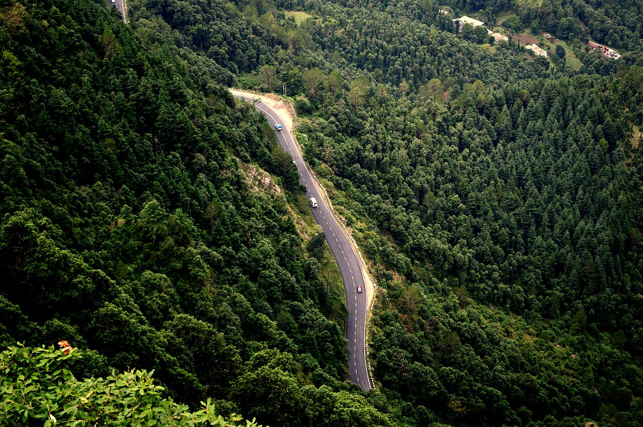
Slope mitigation should follow a risk decision. Hazard severity alone is not enough. A shallow failure above a low-volume road is different from the same failure above a national highway, a railway line or a settlement. Exposure, vulnerability, route criticality and the consequence of failure must change the response.
At lower risk, drainage maintenance, erosion control, vegetation, inspection and periodic monitoring may be sufficient. As risk rises, structural and non-structural measures should be combined: drainage improvement, toe support, flexible protection, reinforcement, instrumentation, traffic management and warning protocols. Where residual risk remains intolerable, major stabilisation, local realignment or avoidance should remain legitimate options. The preferred solution is rarely purely structural or purely non-structural; it is usually a combination proportionate to the mechanism and consequence.
Work with the slope, not against it
Water is the common thread through most hill-slope interventions. Before deciding what to build, we should ask where the water comes from, where it flows across the slope, and where the road has forced it to go. Blocked drains, intercepted natural channels, concentrated cross-drain discharge and seepage through contrasting soil or rock layers can turn a manageable slope into a recurring failure site.
This is also where nature-based and flexible mitigation deserve more space. Vegetative reinforcement, bioengineering, erosion-control systems, geosynthetics, gabions and hybrid vegetated structures can work with a deforming slope rather than trying to make every slope rigid. During a recent visit to Switzerland, the emphasis on nature-sensitive mountain infrastructure reinforced a simple lesson: nature-based solutions should not be treated as landscaping. They need an engineering function, a defined range of suitability and proper consideration of drainage, root development, failure depth and maintenance.
Equally, older practices should not be rejected merely because they are primitive. Many traditional drainage and flexible stone systems remain valuable. What should change is the unconscious reuse of standard details developed decades ago, without checking whether their assumptions still hold in the face of current road widening, land-use change, and more variable rainfall. Traditional knowledge should inform design, but it, too, must be revalidated for a changing climate and exposure conditions.
From static susceptibility to changing risk
The same change in thinking is needed in landslide susceptibility mapping. A susceptibility map is an important baseline; it is not an operational statement of what the slope is doing today. Terrain, geology and historical failures change slowly, but antecedent rainfall, soil moisture, pore pressure, land disturbance and ground movement change from day to day.
Our work at IIT Mandi has evolved along this path. Early efforts focused on low-cost surface and subsurface monitoring, IoT-based alerts and movement thresholds. Subsequent studies moved towards forecasting slope movement, using soil moisture and rainfall to make susceptibility more dynamic, and integrating remote-sensing signatures with ground deformation. The purpose of AI and machine learning in this context is not to replace geotechnical judgement. It is to back-analyse events, identify nonlinear combinations that conventional classification may miss, refine thresholds and make better use of every new monsoon as evidence.
A dynamic landslide susceptibility framework should therefore update the static baseline with rainfall, soil moisture, new failures and measured deformation. The map prepared years ago remains useful, but it should no longer be treated as the final answer for an evolving mountain corridor.
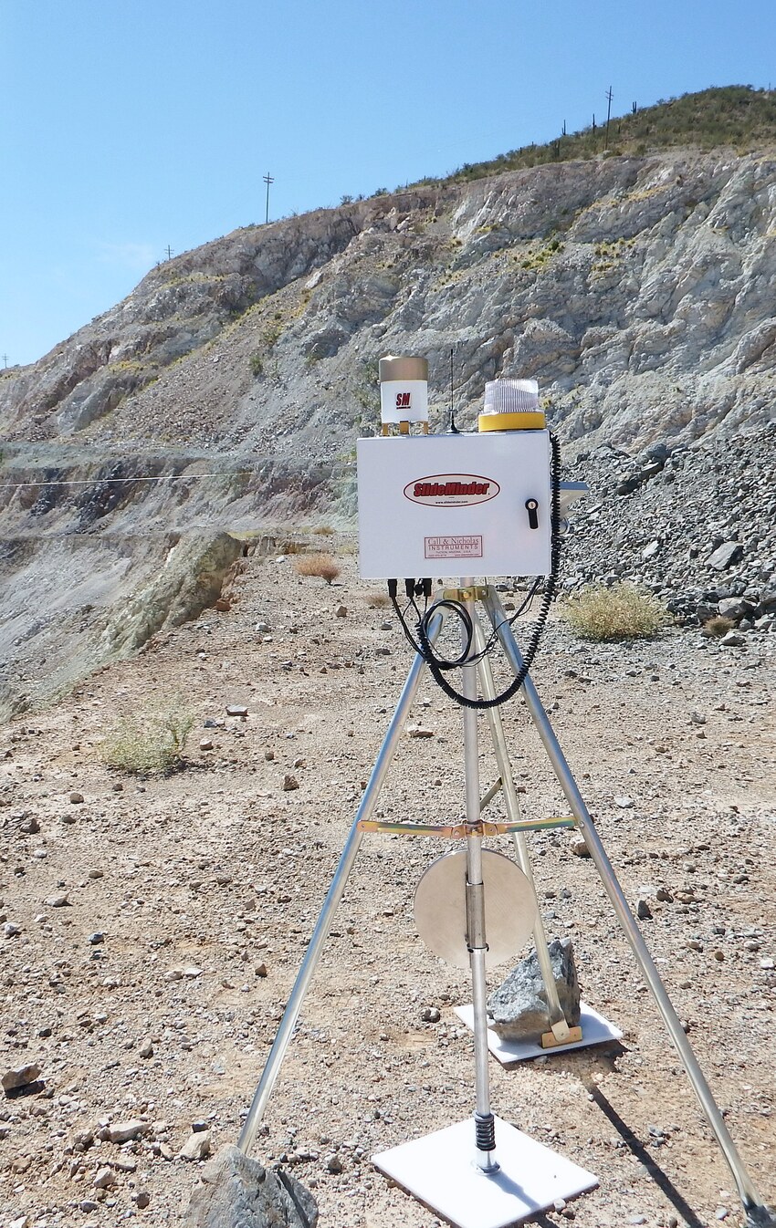
A sensor is not an early-warning system.
Monitoring becomes useful only when a measured change leads to interpretation, a threshold, a responsible recipient and a predefined action. Depending on the risk, that action may be inspection, intensified monitoring, traffic restriction, temporary closure or evacuation.
Our current collaboration with partners in Norway and Canada through IP4EWS is pushing this thinking further, from hazard-based warning towards impact-based warning. Regional forecasts, local sensors, physical and statistical models, AI, exposure and vulnerability have to be connected so that a warning reflects not only the probability of a landslide, but what that landslide is likely to affect. This is also where acceptable and tolerable risk become practical: normal operation, monitored operation, restriction and closure should correspond to clearly understood risk states rather than ad hoc decisions during an emergency.
Reopening is not the final engineering decision
Kotrupi and the 2023 damage along the Kullu-Manali and Shimla corridors illustrate the choice well. After the catastrophic 2017 Kotrupi landslide, an alternative alignment was attempted away from the buried highway section; subsequent instability also affected that route, and the road eventually returned to its pre-disaster alignment. In 2023, severe monsoon damage along major Himachal corridors understandably demanded rapid reconstruction and protection of existing routes. Both experiences raise the same question: after a major failure, should we defend the corridor, realign it locally, or avoid the unstable terrain altogether?
Emergency restoration and permanent alignment should be treated as two different decisions. The first restores connectivity. The second should follow the investigation of the wider slope, recurrence, residual risk, lifecycle cost and the consequence of another failure.
The next generation of hill-road engineering should therefore move from 'design, build and repair' to 'investigate, classify risk, mitigate, monitor, reassess and adapt'. Avoid the hazard where feasible. Respect drainage. Use nature where it can perform an engineering function. Use structural measures where consequences demand them. Monitor the remaining risk, and let every event improve the next decision.
Selected references and background
Kala, V. U. (2025). Why landslide warnings must go beyond static susceptibility maps. IIT Mandi. https://www.iitmandi.ac.in/pdf/achievements/180_flyer_kala.pdf
Uday, K. V. (2025). Guest lecture on landslide monitoring, modelling and early warning. Geological Survey of India. https://www.gsi.gov.in/webcenter/portal/OCBIS/pageQuickLinks/guestlecture
Kamat, R. (2018). Technology for landslide prediction and monitoring. Civil Engineering and Construction Review. https://www.cecr.in/detail-news/technology-for-landslide-prediction-and-monitoring
IIT Mandi, NTNU and Memorial University of Newfoundland (2025). IP4EWS - Intelligence Platform for Early Warning Systems for Landslides. https://site.iitmandi.ac.in/C3DAR/ip4ews/
Uday, K. V. (2026). Role of nature-based solutions in engineering. Indian Institute of Technology Madras. https://www.youtube.com/watch?v=F1BeOSyCnaw
Brenman (2026). Landslide risk in Himalayan roads: the case for early warning. https://www.brenmanconsulting.com/posts/landslide-risk-himalayan-roads-early-warning