Some of the most consequential infrastructure of the next twenty years is being built nowhere near the cities that will depend on it.
A railway is being rebuilt across Tanzania and Zambia to move minerals toward the Indian Ocean. India is laying out a port, airport, township, and power system on Great Nicobar Island. Gujarat is building an industrial city around one of the country's first semiconductor fabs. Singapore is preparing to reclaim 800 hectares as a coastal defence system. Egypt is expanding an economic zone that already spans 461 square kilometres beside one of the world's busiest shipping lanes.
Their consequences reach far past the construction sites. A port changes where cargo transships. A railway changes the cost of reaching a mine. A reservoir changes how a city manages water. A coastal barrier decides which neighbourhoods stay economically viable as seas rise. Here is what each of these ten is trying to become.
1. Great Nicobar Island Development
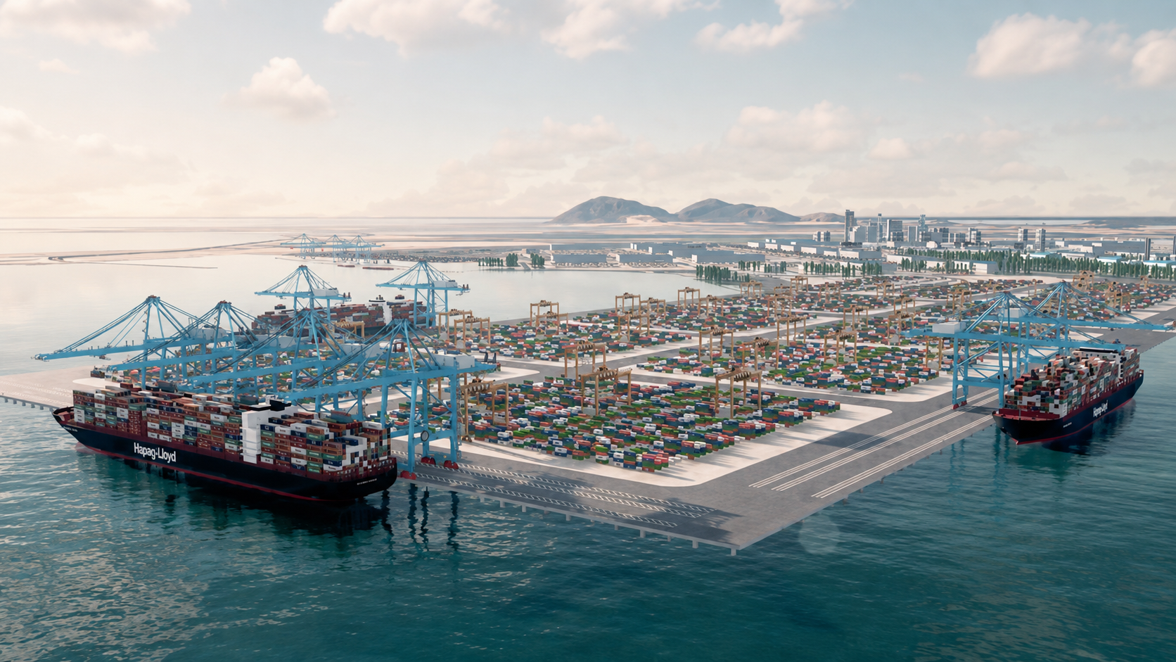
At the southern tip of the Andaman and Nicobar chain, India is trying to build a city where nothing currently exists. The plan calls for a deep-water transshipment terminal with ultimate capacity of 14.2 million TEU, a greenfield airport for 4,000 peak-hour passengers, a 450 MVA gas-and-solar power plant, and a township spread across 16,610 hectares, all for roughly ₹72,622 crore.
The bet is geographic. The site sits about 40 nautical miles from a major east-west shipping route, close enough that India hopes to pull cargo away from foreign transshipment hubs like Colombo, Singapore, and Port Klang, where it currently pays someone else to handle its own trade. But proximity alone does not move containers. Shipping lines choose ports on cost, turnaround, and reliability, and Great Nicobar has none of those yet, only the promise of them. India says the project carries 42 environmental conditions, diverts 1.82% of the island's forest cover, and will not displace the Shompen and Nicobarese communities who live there. Independent monitoring, as construction proceeds, will decide how much of that promise holds. What's really under construction is not a port but a settlement, built to house the pilots, crane operators, and electricians a port this size will eventually need.
2. Dholera Special Investment Region
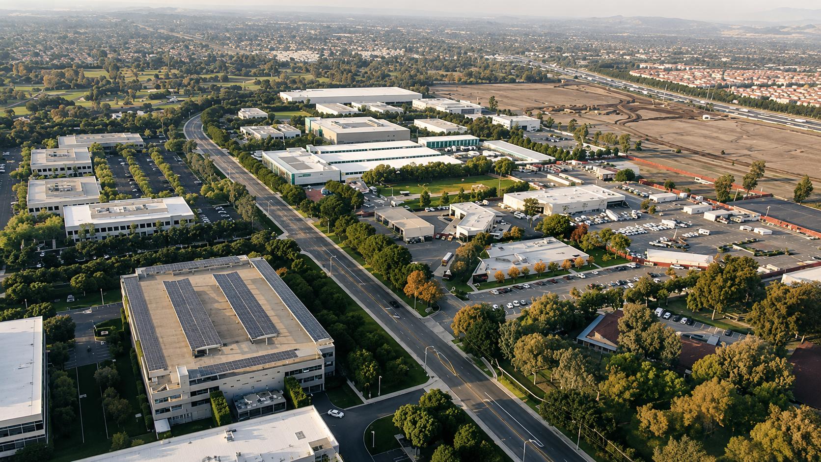
Dholera did not start as a chip city. It started as a 920 sq km blank canvas, with roughly 422 sq km developable, laid out with power, water, wastewater, and transport before a single factory arrived. The factory has now arrived: Tata Electronics and Taiwan's PSMC are building India's first commercial semiconductor fab there, a ₹91,000 crore facility processing 300mm wafers at 50,000 starts a month, with the government covering up to half the eligible cost.
A fab this sensitive changes what the surrounding city has to be. Semiconductor production needs near-perfect power reliability and ultra-clean water, since even trace contaminants can ruin a run, which is why substations, treatment plants, and a planned 5 GW solar park matter as much to Dholera as the cleanroom itself. If the fab holds, it could pull in the suppliers of chemicals, gases, and precision equipment that India's electronics industry has always had to import, turning a single plant into a cluster. The chips being made are mature-node, not cutting-edge, but mature nodes are what run the world's cars, telecoms, and power grids. Dholera is less a factory story than a test of whether India can build the industrial floor its economy has never had underneath it.
3. Kaladan Multimodal Transit Project
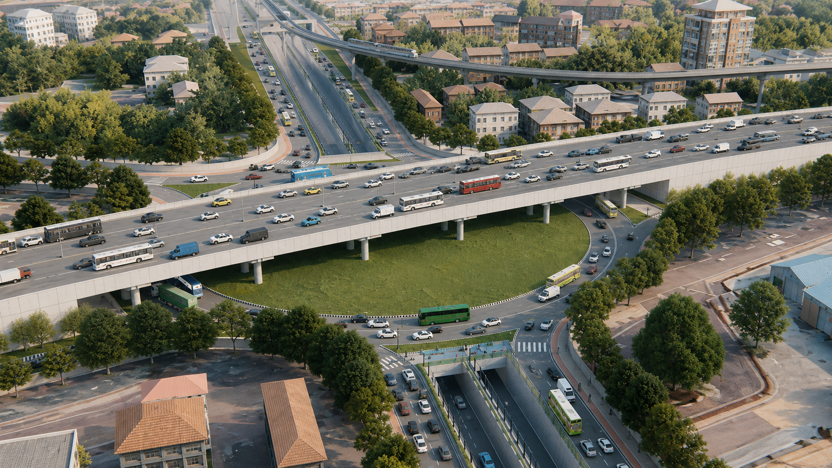
Kaladan tries to reach India's own Northeast by going through someone else's country first: a sea leg from Haldia to Sittwe in Myanmar, then 158 km up the Kaladan River, then road to the Indian border. Approved in 2008 at ₹536 crore, the project's cost has since climbed to ₹2,904 crore. Sittwe port opened in 2023 and took its first Indian cargo vessel that same year.
The idea was to give India's Northeast an alternative to the narrow Siliguri Corridor, the sliver of land connecting it to the rest of the country. It was always a corridor built in three different pieces, and it is now only as strong as the piece that is failing: Myanmar's civil war has made the overland leg largely unusable, leaving a working port and a navigable river stranded behind a road nobody can safely drive. Kaladan is what happens when the engineering finishes years before the politics does.
4. Lobito Corridor
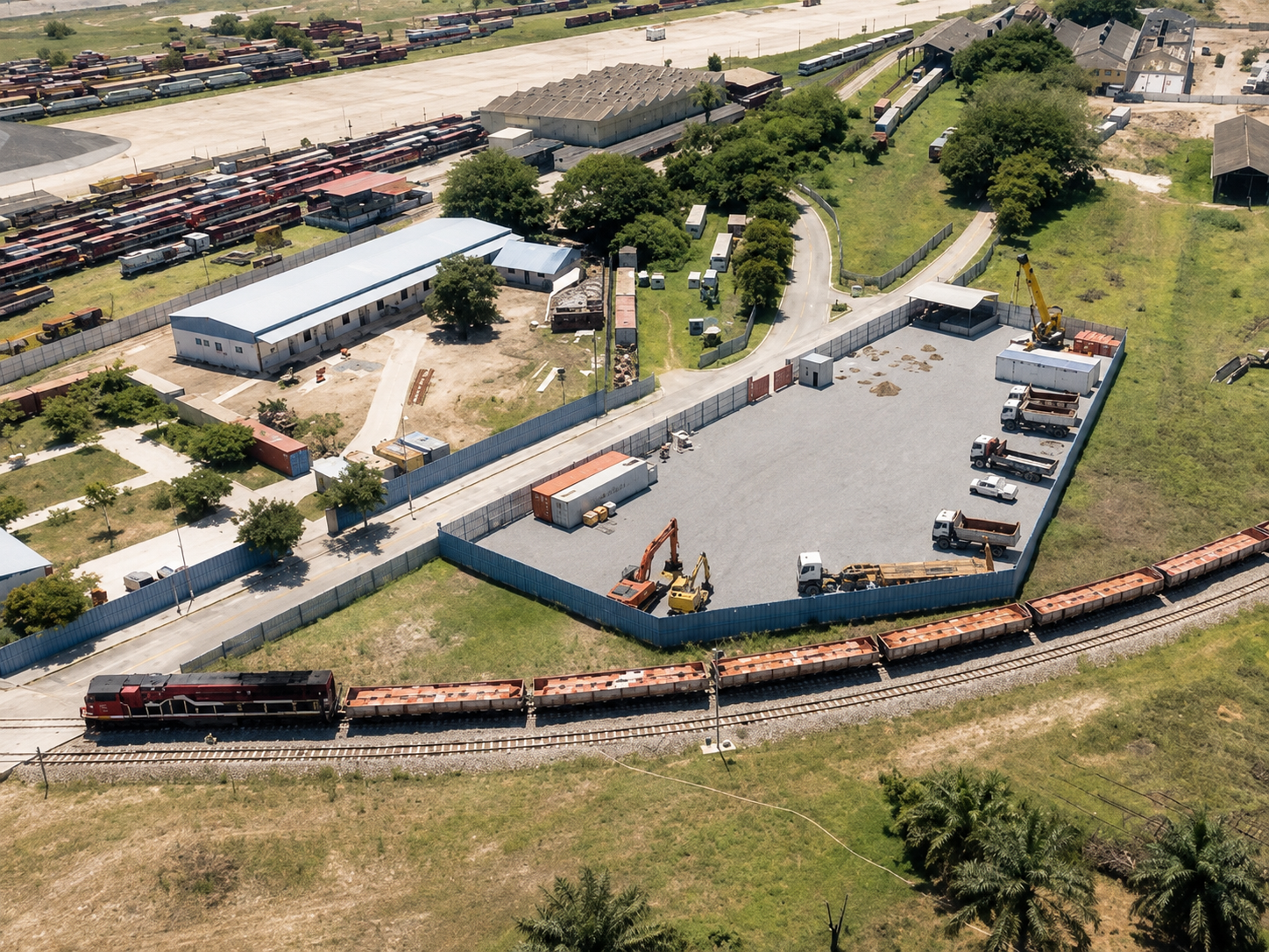
The Benguela Railway already existed, 1,289 km of track across Angola linking the copper and cobalt belt of the DRC to the Atlantic. What changed in 2022 was who runs it: a consortium led by Trafigura, Mota-Engil, and Vecturis took a 30-year concession to rebuild and operate a line that had fallen far short of its potential.
The World Bank calls Lobito important to Angola's diversification, but its own research carries a warning attached: African transport corridors tend to underperform when nothing but ore justifies them. Trains full of copper will fill the line either way. Whether Lobito becomes a real economic corridor, rather than a conveyor belt to a port, depends on the factories, farms, and towns that grow up alongside the track. There is a hint of that potential already, since the railway crosses four of Angola's key agricultural provinces. There is also a rival: Lobito is one of the West's clearest bets on reaching critical minerals outside China's supply chains, and it now runs in direct competition with a Chinese-backed railway carrying the same ore east instead of west.
5. LAPSSET Corridor
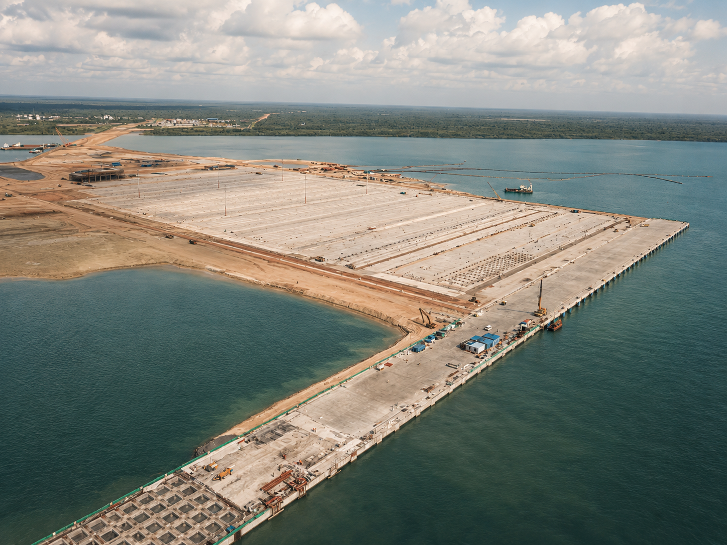
Lamu Port is the one piece of a much bigger vision that actually got built. Its first three berths are running, with 1.2 million TEU of annual capacity and room to grow to 23 berths, inside a programme once imagined to include railways, pipelines, an oil refinery, power lines, and resort cities stretching across three countries.
That original scale is now the project's biggest liability. Infrastructure this size needs Ethiopia's export trade, South Sudan's energy needs, and northern Kenya's long-neglected economy to all show up on schedule, and none of that is guaranteed. What has shown up is real: Kenya reports vessel traffic at Lamu tripled since early 2025, with a target of 1.2 million TEU by 2027 and road, rail, and pipeline links still being extended around the port. If the rest of the corridor follows, the jobs it creates will run well past the docks, into trucking, warehousing, and manufacturing. If it doesn't, Kenya will be left holding a large port next to an unfinished economy.
6. Middle Corridor
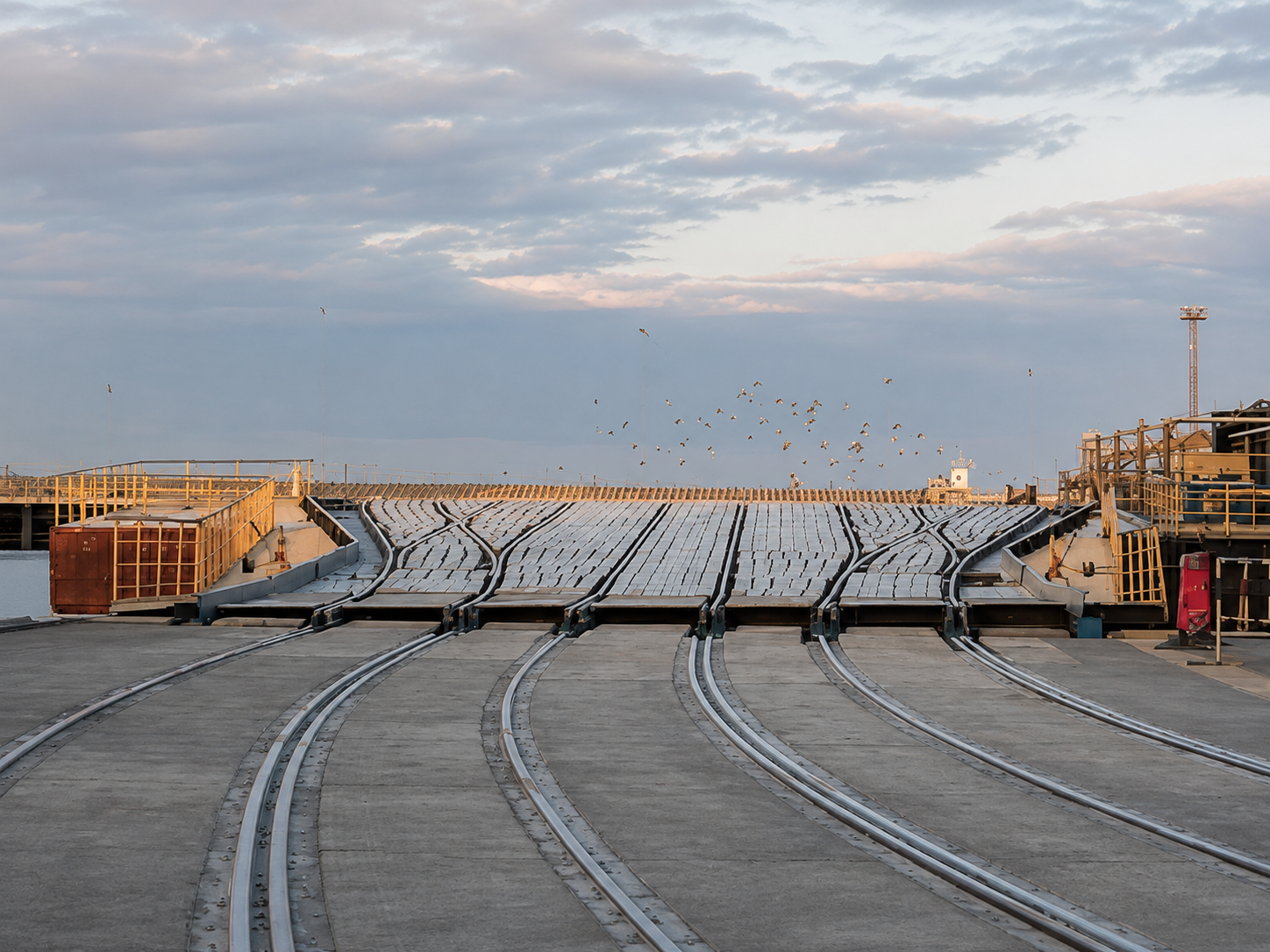
The Middle Corridor exists because the old one stopped working. Running from China through Kazakhstan, across the Caspian Sea, and on through Azerbaijan and Georgia toward Europe, it has taken on new urgency since the traditional route through Russia became politically unusable. Its problem is that it was never built as one route, but as a chain: rail, sea, rail again, with a customs post at every border, where a single bottleneck can stall the entire chain behind it.
Kazakhstan is now removing its worst bottleneck. In February 2026, the World Bank approved an $846 million guarantee meant to mobilise $1.41 billion for a new 322 km railway between Mointy and Kyzylzhar, cutting a 149 km detour and finally allowing double-stack container trains through. The Bank expects the corridor's freight volume to triple and transit times to halve by 2030, pulling cargo off trucks and onto rail in the process. Underneath the engineering is a simple shift in how global manufacturers think: a single route between China and Europe is no longer good enough, and Kazakhstan's geography happens to be the answer to that new caution.
7. Grand Inga / Inga 3
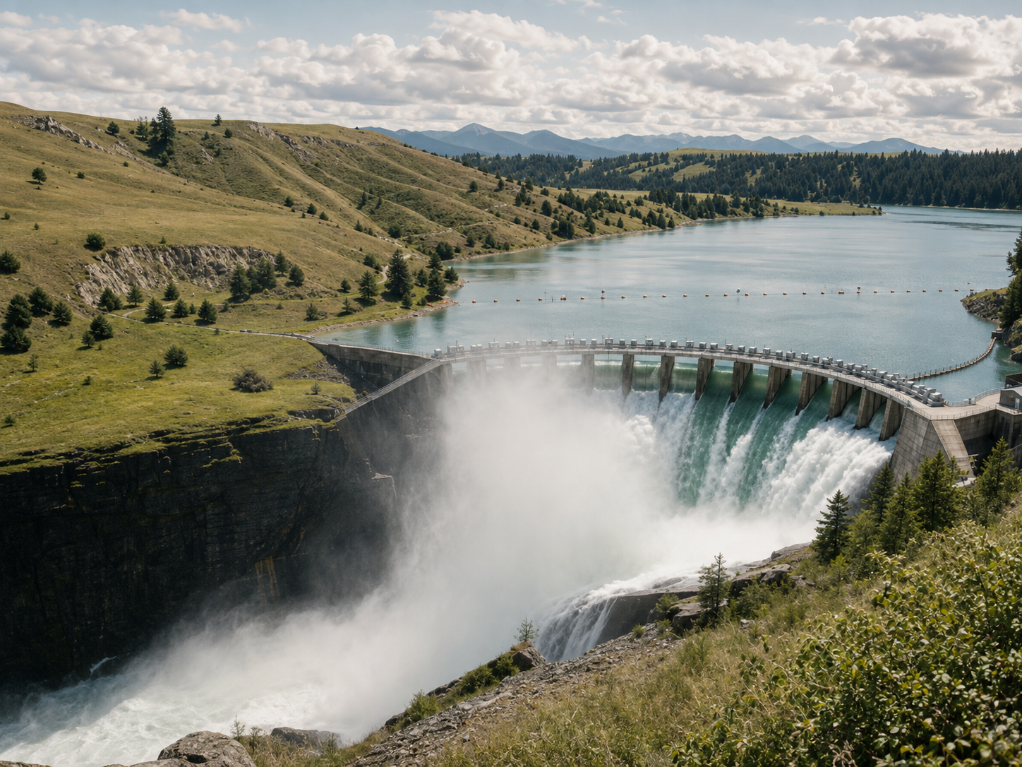
The Congo River has carried the potential for one of the largest power stations on Earth for decades, somewhere between 2 GW and 11 GW depending on final scope, without construction ever reaching that scale. In 2025 the World Bank took the first real step, approving a $250 million phase within a planned $1 billion programme that focuses on preparation and local infrastructure rather than the dam itself.
The gap it is trying to close is enormous. Only about 21% of people in the DRC currently have electricity access, against a 2030 target of 62%. This time, the programme starts with people rather than turbines: around 100 communities and 1.2 million residents are included in an initial local-development plan covering roads, water, and distributed renewable energy, a direct answer to how badly earlier mega-projects handled the communities around them. If it works, reliable power could let the DRC process its own copper and cobalt instead of shipping raw material abroad, though generation alone will not industrialise the country without transmission lines and demand to absorb it. The World Bank has been here before and walked away in 2016 over governance disputes, which makes this phase as much a test of institutions as of turbines.
8. Suez Canal Economic Zone
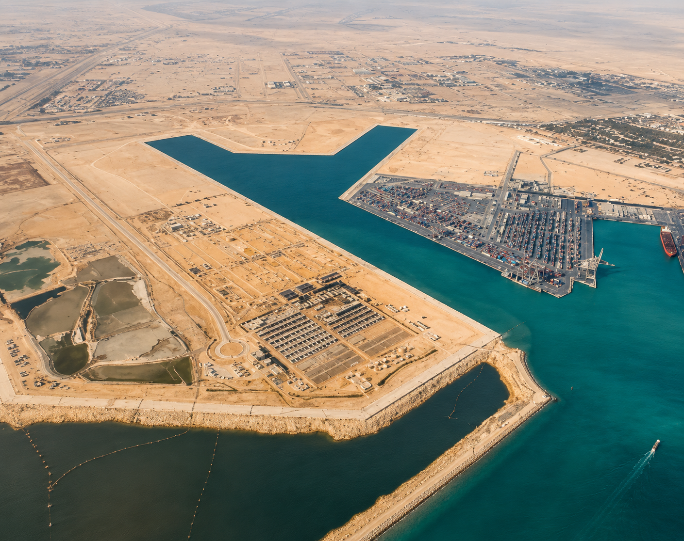
Most projects on this list are still being built. SCZONE already operates at scale, 461 sq km, four development areas, six ports, sitting beside a canal that has historically carried about 12% of global seaborne trade. In June 2026, the 24,000-TEU CMA CGM Vendôme transited the canal, a reminder that even the largest ships afloat still choose this route.
Egypt's problem is that a ship passing through creates revenue for the canal authority, but a factory beside it creates a much longer economic chain, and Egypt wants more of the second kind. SCZONE has been building toward textiles, pharmaceuticals, automotive components, solar manufacturing, data centres, and green hydrogen, and drew about $8.5 billion in investment over the three years to 2025, including a $10 million Chinese garment factory expected to create 2,000 jobs. The Red Sea crisis showed how exposed the whole strategy still is: canal traffic dropped sharply during the worst of the security disruptions, and the authority had to offer incentives to lure 784 vessels back in 2025, generating $170 million in revenue. Egypt cannot control what happens to shipping-lane risk. It can only try to make the land around the canal valuable enough to matter regardless.
9. TAZARA Railway Revitalisation
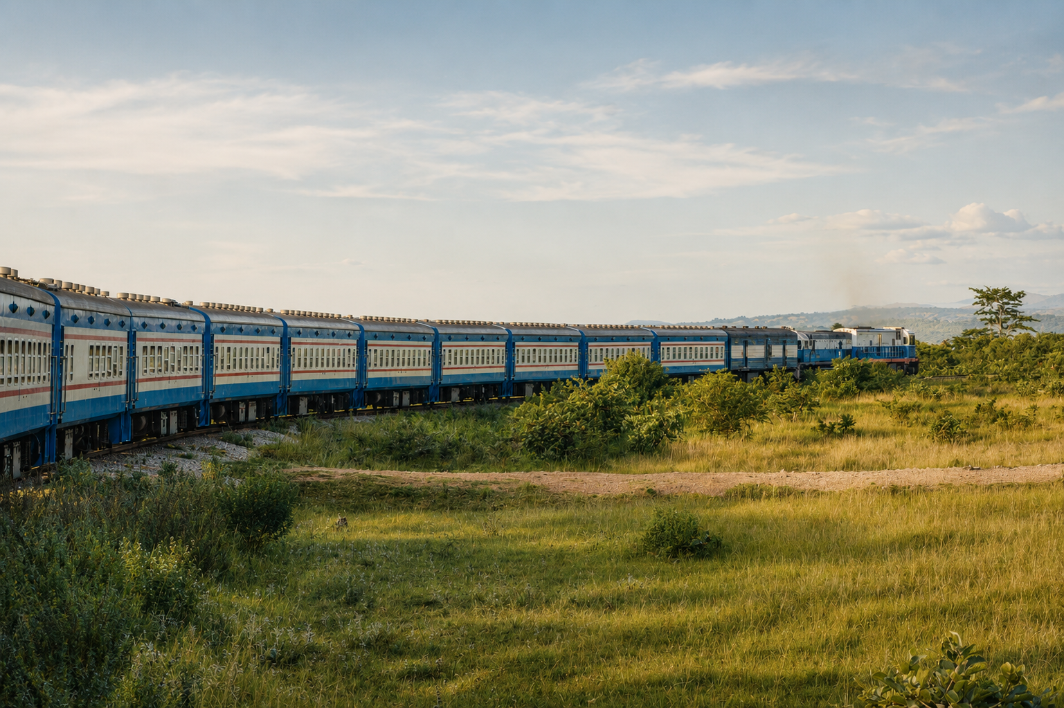
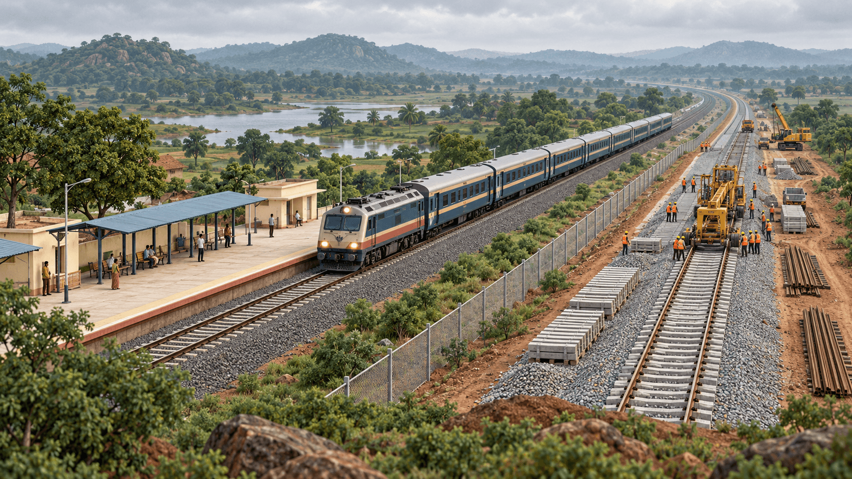
The Tanzania-Zambia Railway was built for a different Southern Africa, laid down with Chinese assistance between 1970 and 1975 to connect Dar es Salaam with Zambia's mineral interior. Fifty years later, the same minerals are back in demand, and in 2025 Tanzania, Zambia, and China signed a $1.4 billion deal with China Civil Engineering Construction Corporation to rebuild it: full-line rehabilitation, new signalling, 34 locomotives, 760 wagons, and an inland logistics port.
The ambition attached to that rebuild is steep. Freight on the line currently runs around 400,000 tonnes a year; the plan targets 2.4 million tonnes within two years of full operation and more than 3 million within five. Work began in November 2025, alongside a training and operations centre in Dar es Salaam, because rebuilding a railway also means rebuilding the engineers and dispatchers who will run it. TAZARA now sits in direct competition with Lobito for the same DRC and Zambian mineral cargo, giving producers a real choice of export route for the first time in decades, and giving China a second corridor into a resource belt the West is also chasing through Angola.
10. Singapore Long Island
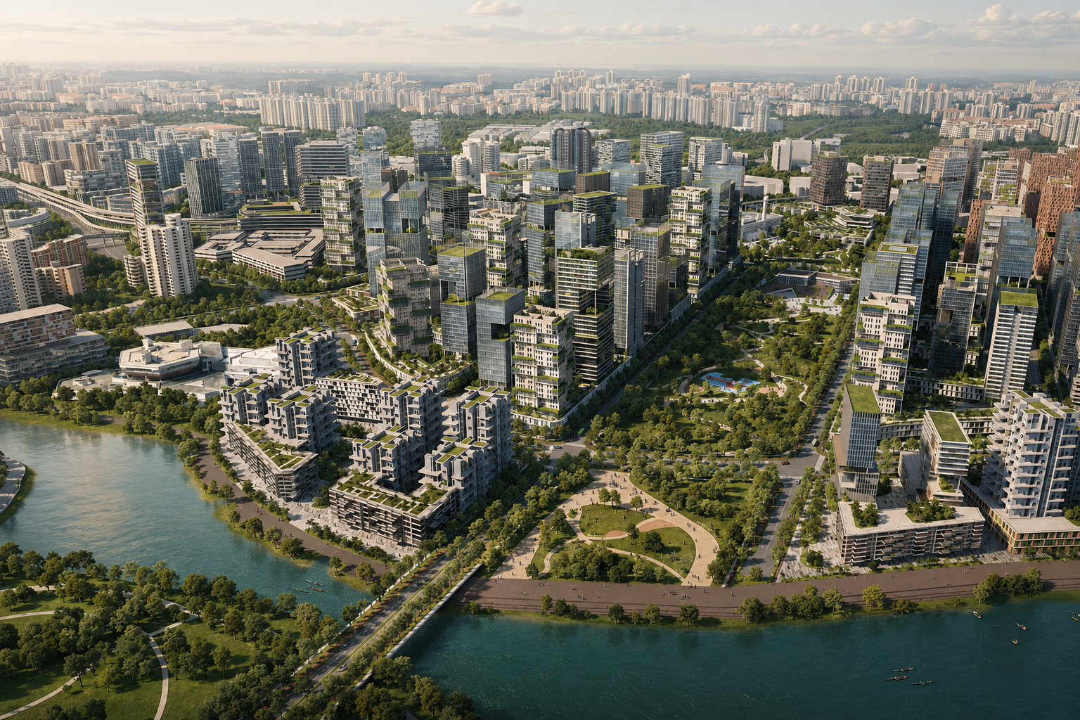
Singapore has been reclaiming land from the sea for decades. Long Island is what happens when that habit meets climate change. The plan would reclaim about 800 hectares off the East Coast, twice the size of Marina Bay, folding a coastal defence line, a new reservoir, and 20 km of waterfront parks into a single piece of engineering.
Underneath the new land sits a working system: twelve existing drainage outlets would feed the reservoir, with barrages and pumping stations keeping seawater out at high tide and releasing storm water during downpours. Singapore studied a cheaper option, a seawall with tidal gates, and rejected it partly because the pumping stations alone would have taken up the equivalent of 15 football fields. What the land will actually be used for, housing among it, is still undecided, and more than 14,000 people have taken part in public consultation since 2023 while preparatory seabed work begins in late 2026. The 800 hectares are almost the least interesting part of the plan. The real product is the flood risk they remove, a model other low-lying, crowded Asian coastlines are watching closely.
Taken together, these ten projects are trying to do something harder than build a single structure. Each one is betting that a railway, a port, or a reclaimed coastline can quietly rewrite where people live, where factories open, and which regions get to matter in the next fifty years. The concrete will be finished long before anyone knows if that bet paid off.
Infrastructure shapes economies long before most people notice it.
Follow Brenman for more stories on the projects, systems and ideas building the world around us.